by : Kurnia Ahmaddin
One of the activities in order to strengthen the protection of the Petungkriyono forest area, through a collaborative management scheme, is this biodiversity monitoring activity which has been carried out throughout 2023. This activity involves related management parties, related agencies and representatives of local community in the Petungkriyono District area. (read the previous report here) .This Collaborative Forum is a mandate from the Decree of the Governor of Central Java for the management of essential ecosystem areas in Petungkriyono. Even though the KEE proposal seems to have changed its legal basis, swarowa takes an important role in continuing to activate existing collaboration forums to strengthen protection and to build active communication with other forum members.
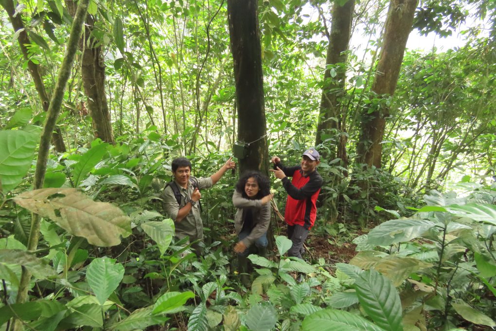
Biodiversity monitoring activities are carried out by surveying forest routes and inviting related parties to jointly carry out surveys and forest patrols. This activity aims not only to increase capacity but also to inventory biodiversity using camera traps and passive recording devices
The monitoring team consists of BKSDA, Perhutani and Kayupuring village residents, supported by a technical team and equipment provided by swaraowa. This activity is carried out every month for four consecutive days. Monitoring of Javan Gibbons was carried out using the vocal-count triangulation method, by placing 3 groups of observers at three different points in the Sokokembang forest.
Monitoring results during 2023 are presented in the following table:

Description: IUCN Redlist status (NT=near threatened; VU=Vulnerable; EN=Endangered; CR=Critically Endangered.
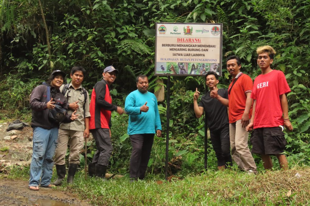
The installation of hunting prohibition signs is also carried out as part of several locations where there are still risks of animal poaching, especially birds, but patrol activities are for forest security. According to the swaraowa team’s monitoring, this area still needs to be improved because at certain times hunting activities are carried out at night.
Mapping the location of encounters with animals, especially mammals, uses GPS and is mapped on the following Google Maps map.

